OUTER BANKS, N.C. — A tropical storm watch is in place for North Carolina’s Outer Banks as Hurricane Erin continues to churn off of the East Coast.
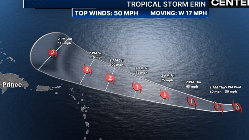
Hurricane Erin restrengthened to a Category 4 storm overnight, according to the National Hurricane Center.
At 5 p.m., the National Weather Service issued tropical storm watches and storm surge watches for the Outer Banks.
In North Carolina, mandatory evacuations are in place for visitors and residents on Hatteras Island and Okracoke.
The National Oceanic and Atmospheric Administration says Erin is one of the most rapidly intensifying storms in the Atlantic Ocean’s history.
While it is not expected to make U.S. landfall, experts say high winds, rip currents, and flooding could impact the coast.
According to a release from Dare County, coastal flooding and ocean overwash are expected to begin as early at Tuesday and continue through Thursday.
County leaders urge residents to make final preparations, secure property and evacuate with all personal belongings.
Click here for the latest forecast from Severe Weather Center 9 >>>
VIDEO: Tropical Storm Erin poised to become 1st hurricane of the season
©2025 Cox Media Group
/cloudfront-us-east-1.images.arcpublishing.com/cmg/LH3JSJEF3VBLRJLJQESEAG34AM.png)


